Mynd:Karte Karlsruhe in Deutschland.png
Jump to navigation
Jump to search
Það er engin hærri upplausn til.
Karte_Karlsruhe_in_Deutschland.png (188 × 235 mynddílar, skráarstærð: 3 KB, MIME-gerð: image/png)
Leyfisupplýsingar:
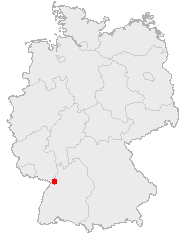
This image was generated with OpenGeoDB. The information there is placed in the public domain, images generated from OpenGeoDB are derivative works without passing the threshold of creativity, they are therefore also public domain.
| This work is ineligible for copyright and therefore in the public domain because it consists entirely of information that is common property and contains no original authorship. |
Breytingaskrá skjals
Smelltu á dagsetningu eða tímasetningu til að sjá hvernig hún leit þá út.
| Dagsetning/Tími | Smámynd | Víddir | Notandi | Athugasemd | |
|---|---|---|---|---|---|
| núverandi | 11. apríl 2006 kl. 05:59 | | 188 × 235 (3 KB) | Jed |
Skráartenglar
Eftirfarandi síða notar þessa skrá: