Mynd:Denmark physical map.svg
Jump to navigation
Jump to search

Stærð þessarar PNG forskoðunar á SVG skránni: 704 × 600 mynddílar. Aðrar upplausnir: 282 × 240 mynddílar | 564 × 480 mynddílar | 902 × 768 mynddílar | 1.202 × 1.024 mynddílar | 851 × 725 mynddílar.
Upphafleg skrá (SVG-skrá, að nafni til 851 × 725 mynddílar, skráarstærð: 379 KB)
Lýsing
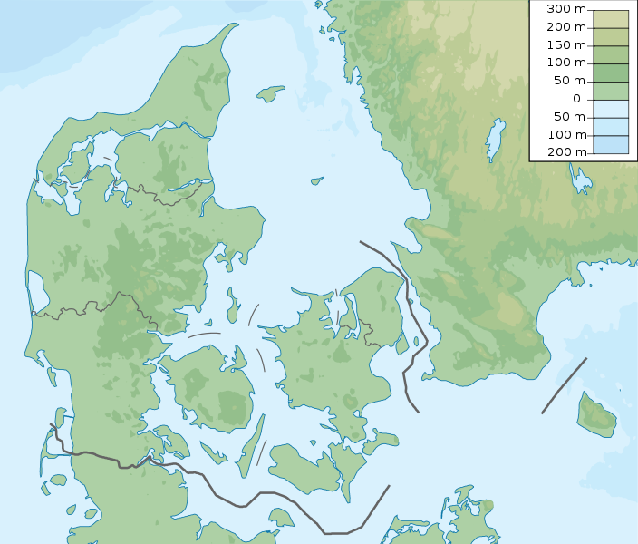
| Lýsing | Denmark physical map, parameters equal to File:Denmark location map.svg |
| Dagsetning | |
| Uppruni | eigin skrá |
| Höfundarréttarhafi | Urutseg |
Leyfisupplýsingar:
I, the copyright holder of this work, hereby publish it under the following license:
| This file is made available under the Creative Commons CC0 1.0 Universal Public Domain Dedication. | |
| The person who associated a work with this deed has dedicated the work to the public domain by waiving all of their rights to the work worldwide under copyright law, including all related and neighboring rights, to the extent allowed by law. You can copy, modify, distribute and perform the work, even for commercial purposes, all without asking permission.
|
Breytingaskrá skjals
Smelltu á dagsetningu eða tímasetningu til að sjá hvernig hún leit þá út.
| Dagsetning/Tími | Smámynd | Víddir | Notandi | Athugasemd | |
|---|---|---|---|---|---|
| núverandi | 25. nóvember 2022 kl. 15:29 | | 851 × 725 (379 KB) | GrandEscogriffe | more correct north-south stretching |
Skráartenglar
Eftirfarandi síða notar þessa skrá: