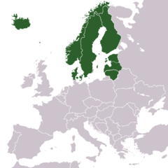
Mynd:Europe North-European countries map.png
Jump to navigation
Jump to search


Stærð þessarar forskoðunar: 600 × 600 mynddílar Aðrar upplausnir: 240 × 240 mynddílar | 480 × 480 mynddílar | 768 × 768 mynddílar | 1.024 × 1.024 mynddílar.
Upphafleg skrá (1.024 × 1.024 mynddílar, skráarstærð: 202 KB, MIME-gerð: image/png)
Lýsing
| Lýsing | |
| Dagsetning | |
| Uppruni |
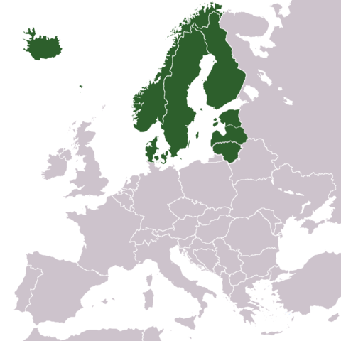
This file was derived from: Europe blank map.png: |
| Höfundarréttarhafi | Wiki-vr |
Leyfisupplýsingar:
| This work has been released into the public domain by its author, Wiki-vr. This applies worldwide. In some countries this may not be legally possible; if so: |
Breytingaskrá skjals
Smelltu á dagsetningu eða tímasetningu til að sjá hvernig hún leit þá út.
| Dagsetning/Tími | Smámynd | Víddir | Notandi | Athugasemd | |
|---|---|---|---|---|---|
| núverandi | 11. apríl 2021 kl. 06:57 | | 1.024 × 1.024 (202 KB) | TU-nor | Reverted to version as of 01:46, 9 April 2021 (UTC) Stop! This version is in use where your change is not appropriate |
Skráartenglar
Eftirfarandi 2 síður nota þessa skrá: